UN
3 Quernmore Road
£ 249,950
Description
We don't have a Description for this property.
- Bedrooms
- 4
- Bathrooms
- 0
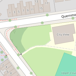


Leaflet © OpenStreetMap contributors
The heatmap indicates the level of crime in the area. The color of the heatmap indicates the crime severity and recency.
Metrics Year-on-Year
- Average area value
- 231,813.00 £Increased by 7.66 %
- Average area rental value
- 911.00 £/moIncreased by 18.16 %
- Est rental Yield
- 4.72 %Increased by 9.77 %
- Crime Rate
- 5.00 %Unchanged by 0.00 %
from 215,316.00 £
from 771.00 £/mo
from 4.30 %
from 5.00 %
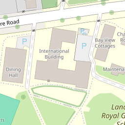
Nearby Schools
| Name | Type | Ofsted | Distance |
|---|---|---|---|
| Lancaster Royal Grammar School | Academy Converter | 0.23 KM | |
| The Cathedral Catholic Primary School, Lancaster | Voluntary Aided School | Good | 0.54 KM |
| Lancaster Christ Church Church Of England Primary School | Voluntary Aided School | Good | 0.55 KM |
| Firbank Children'S Centre | Children's Centre | 0.64 KM | |
| Castle View Primary | Academy Sponsor Led | 0.72 KM |
Images
Nearby Streets
| Name | Average Price | Average Sqft | Distance |
|---|---|---|---|
| Park Avenue | £ 0 | 0 | 0.00 KM |
| East Road | £ 0 | 0 | 0.00 KM |
| The Grove | £ 0 | 0 | 0.00 KM |
| Robert Street | £ 0 | 0 | 0.00 KM |
| Moor Lane | £ 135,000 | 0 | 0.00 KM |
Nearby Transport
| Name | NLC | TLC | Distance |
|---|---|---|---|
| Lancaster | 2685 | LAN | 2.15 KM |
| Bare Lane | 2690 | BAR | 6.04 KM |
| Morecambe | 2695 | MCM | 9.34 KM |
| Carnforth | 2640 | CNF | 9.34 KM |
Nearby Listings
| Address | Price | Type | Score | Distance |
|---|---|---|---|---|
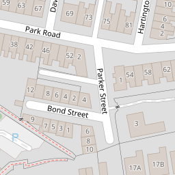
| Parker Street | Unmistakable character and individuality! | £ 235,000 | BUY | 7 / 10 | 0.06 KM |
| Hartington Street, Lancaster, LA1 | £ 185,000 | BUY | 6 / 10 | 0.08 KM |
| Park Road, Lancaster | £ 199,950 | BUY | 5 / 10 | 0.09 KM |
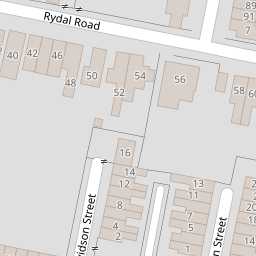
| Hartington Street, Freehold | Two bedroom terrace on a quiet cul-de-sac | £ 165,000 | BUY | 6 / 10 | 0.11 KM |
| Davidson Street, Lancaster | £ 199,950 | BUY | 6 / 10 | 0.12 KM |
Nearby Properties
| Address | Price | Distance |
|---|---|---|
| 1 Quernmore Road | £ 225,000 | 0.00 KM |
| 3 Quernmore Road | £ 249,950 | 0.00 KM |
| 17b Quernmore Road | £ 326,000 | 0.00 KM |
| 13 Quernmore Road | £ 349,950 | 0.00 KM |
| 19 Quernmore Road | £ 655,000 | 0.02 KM |